Our Services
-
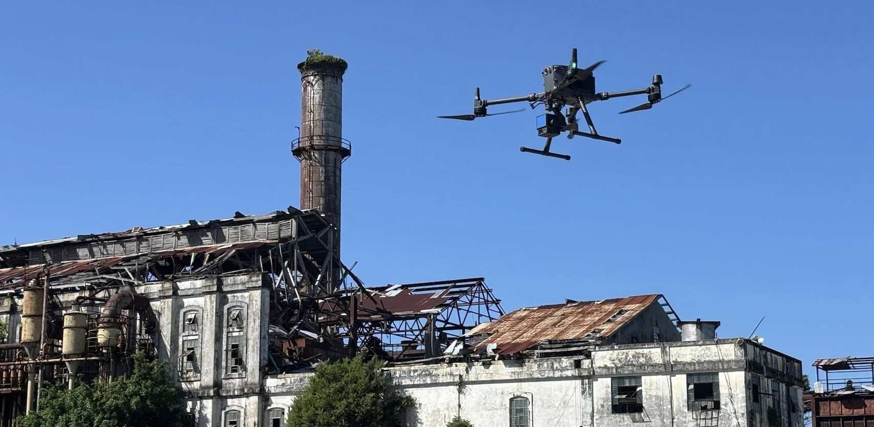
Our LiDAR Mapping Services Using UAVs provide precise and detailed mapping solutions for various applications. By integrating advanced LiDAR technology with drone capabilities, we capture high-resolution data that enables accurate terrain modeling and analysis, making it suitable for a range of industries.
Key Features:
High-Precision Data Collection: Our UAV-mounted LiDAR systems gather dense point cloud data, capturing minute details of the landscape, including vegetation, structures, and topography.
Rapid Surveying: Drones equipped with LiDAR can cover large areas quickly, significantly reducing the time required for traditional ground-based surveys.
Detailed Terrain Models: We produce accurate Digital Elevation Models (DEMs) and Digital Surface Models (DSMs) that provide insights into landforms and surface characteristics.
Customized Solutions: Our services are tailored to meet the specific requirements of each project, ensuring relevant data collection and analysis.
Applications:
Topographic Mapping: Create comprehensive maps for civil engineering, urban planning, and environmental management.
Forestry Management: Assess forest structure, monitor biomass, and evaluate ecological health through detailed vegetation analysis.
Construction and Infrastructure: Support site design, grading, and construction monitoring with precise elevation data.
Flood Risk Assessment: Analyze terrain features to model and predict flood scenarios, aiding in disaster preparedness and response planning.
By choosing our LiDAR Mapping Services Using UAVs, you gain access to cutting-edge technology that enhances your ability to gather accurate geographic data. Let us help you transform your projects with precise mapping solutions that drive informed decision-making and successful outcomes.
-
Our Orthomosaic Development services provide precise and high-quality aerial imagery solutions tailored for various industries. Utilizing advanced drone technology and photogrammetry, we create orthomosaic maps that accurately reflect the Earth's surface. These maps are produced by stitching together multiple aerial images, corrected for lens distortion and topographic relief, ensuring a uniform scale across the entire area.
Key Features:
High Resolution: We deliver detailed imagery that captures fine features, ideal for analysis and presentations.
Accurate Measurements: Orthomosaic maps allow for accurate distance, area, and volume calculations, making them invaluable for planning and assessment.
Custom Solutions: Our services are adaptable to meet the specific needs of different sectors, including agriculture, construction, environmental monitoring, and urban planning.
Quick Turnaround: We utilize efficient workflows to provide timely results without compromising quality.
User-Friendly Formats: The final products are delivered in formats compatible with various GIS software, enabling easy integration into existing systems.
With our Orthomosaic Development services, you gain access to comprehensive data that enhances decision-making and supports strategic planning across multiple domains. Let us help you turn aerial data into actionable insights.
-
Item descriptionOur Geospatial Analysis services offer advanced solutions for data interpretation and visualization, enabling organizations to make informed decisions based on spatial information. By leveraging cutting-edge technologies and methodologies, we analyze geographic data to uncover patterns, trends, and relationships that are crucial for strategic planning and operational efficiency.
Key Features:
Data Integration: We combine data from various sources, including satellite imagery, aerial surveys, and existing databases, to create a comprehensive view of the area of interest.
Mapping and Visualization: We create detailed and interactive maps that highlight key findings, making complex data easier to understand and communicate.
Custom Analysis: Our services are tailored to meet the unique needs of different industries, ensuring relevant insights and actionable results
-
Our Site Analysis Using UAVs (Unmanned Aerial Vehicles) services provide innovative and efficient solutions for evaluating various types of sites across different industries. By utilizing advanced drone technology, we capture high-resolution aerial imagery and data that facilitate detailed site assessments, enabling better planning, management, and decision-making.
Key Features:
High-Resolution Imaging: We deliver clear and detailed aerial images that reveal site conditions, topography, and features that may not be easily visible from the ground.
Rapid Data Collection: UAVs allow for quick and efficient data gathering over large areas, significantly reducing the time required for site assessments.
3D Mapping: Our services include the creation of 3D models and topographic maps, providing a comprehensive view of the site’s landscape and features.
Customizable Solutions: We tailor our analysis to meet the specific requirements of each project, ensuring relevant and actionable insights.
Applications:
Construction Sites: Monitor progress, assess site conditions, and ensure compliance with plans and regulations.
Agricultural Assessments: Evaluate crop health, analyze soil conditions, and optimize land use for improved yield.
Environmental Studies: Conduct ecological assessments, monitor land changes, and support environmental impact studies.
Mining Operations: Analyze terrain, monitor stockpiles, and improve safety through accurate site evaluations.
By choosing our Site Analysis Using UAVs services, you gain access to cutting-edge technology that enhances your ability to assess and manage sites effectively. Let us help you leverage aerial data to achieve your project goals efficiently and accurately.
-
Our Site Progression Services Using UAVs offer a modern approach to monitoring construction and development. employing drone technology, provide-time data and insights into site progress, helping you stay on schedule and manage resources effectively.
Key Features:
Regular Aerial Surveys: We conduct frequent drone flights to capture up-to-date aerial imagery, allowing for continuous monitoring of site conditions and progress.
Detailed Reporting: Our team compiles comprehensive reports that highlight changes over time, enabling stakeholders to make informed decisions based on accurate data.
3D Visualization: We create 3D models and visualizations that illustrate site developments, making it easier to communicate progress to clients and team members.
Custom Flight Plans: Each project benefits from tailored flight plans that focus on specific areas of interest, ensuring relevant data collection aligned with project goals.
Applications:
Construction Management: Track project milestones, monitor compliance with design specifications, and ensure effective resource allocation.
Infrastructure Development: Assess the progress of roads, bridges, and other infrastructure projects to ensure timely completion.
Environmental Monitoring: Evaluate the impact of construction activities on surrounding ecosystems and ensure adherence to environmental regulations.
Stakeholder Communication: Provide clients and stakeholders with visual progress updates, fostering transparency and trust throughout the project lifecycle.
By utilizing our Site Progression Services Using UAVs, you can enhance your project's efficiency and oversight. Let us partner with you to ensure your site progresses smoothly and successfully towards completion.
