LIDAR SCANNING OF MUNICIPAL LANDFILL - HORMIGUEROS, PR
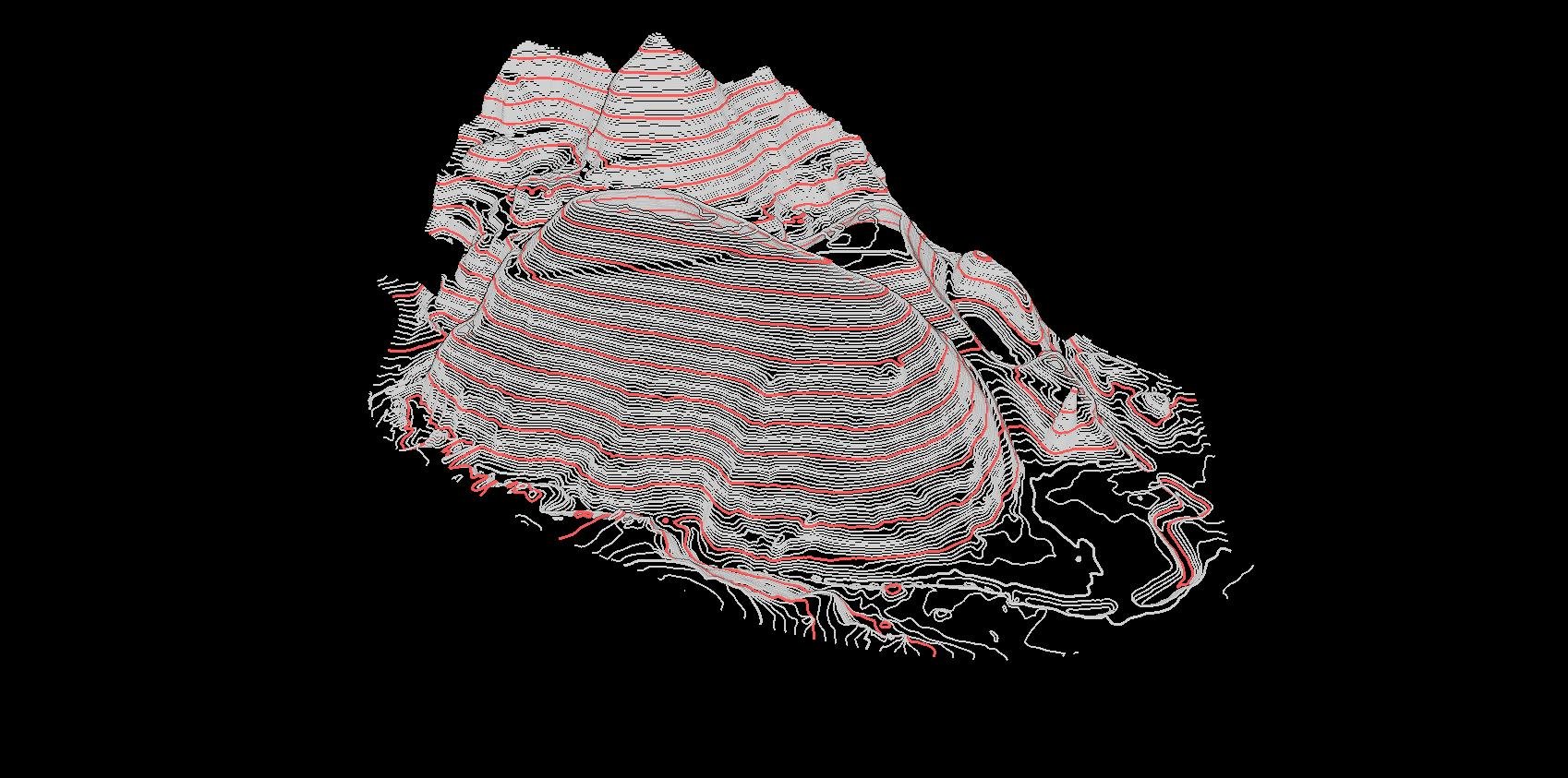
Project consisted in mission planning for LIDAR data collection scan and 3D model construction for analysis of landfill expansion and development of bare earth surface model for contour extraction and volume analysis of specific areas.
LIDAR collection with UAV facilitated access to landfill areas otherwise inaccessible with traditional methods providing greater visualization tools and detailed changes for the site.

Point Cloud 3D Model - Hormigueros, PR

Top View -Point Cloud 3D Model - Hormigueros, PR

Point Cloud 3D Model - Hormigueros, PR

Elevation Digital Model - Hormigueros, PR

Elevation Digital Model - Hormigueros, PR


Top View - Elevation Digital Model - Hormigueros, PR

Point Cloud 3D Model -Ground Classification - Hormigueros, PR


3D Model- Contour Extraction - Hormigueros, PR


