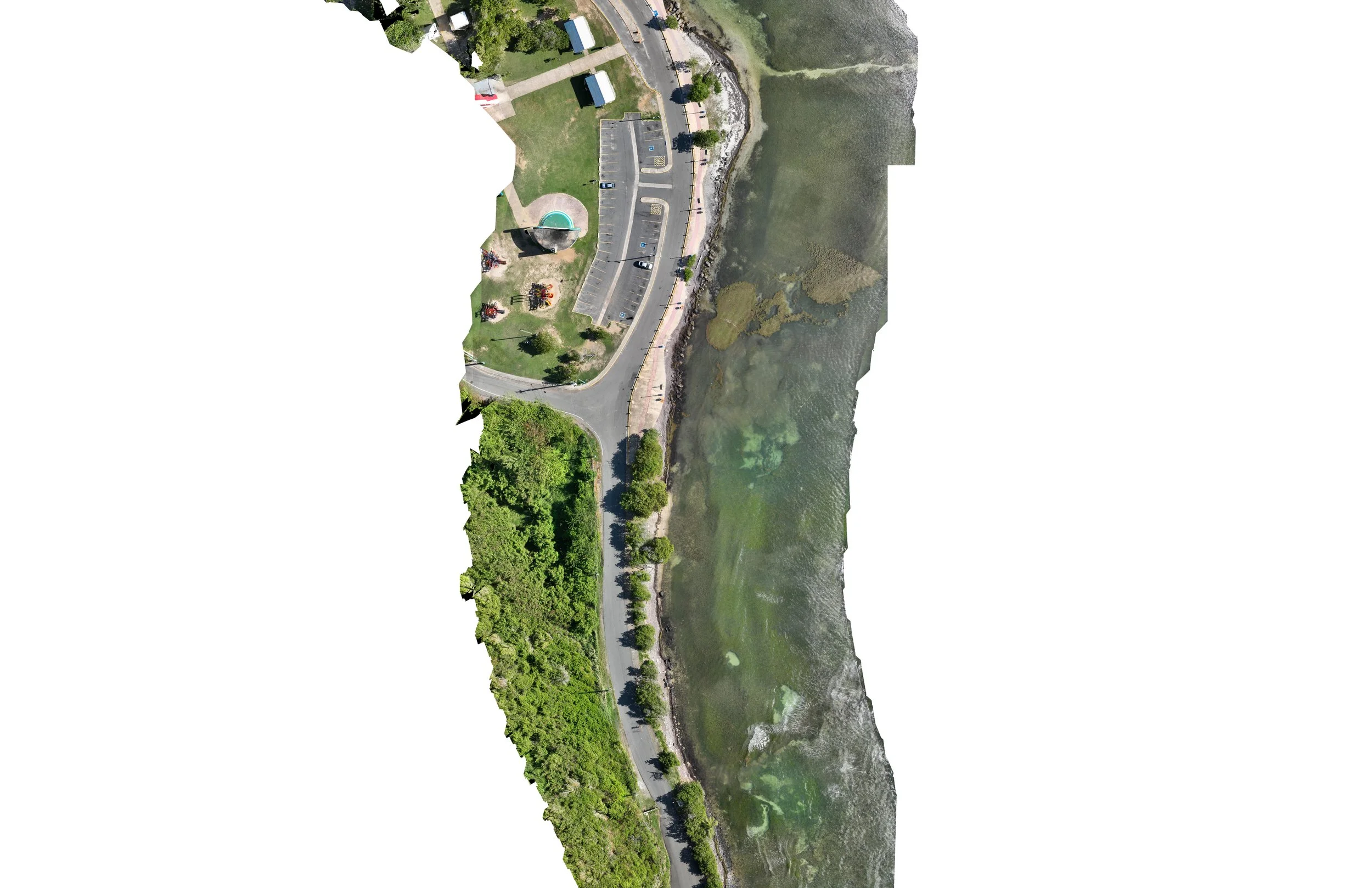
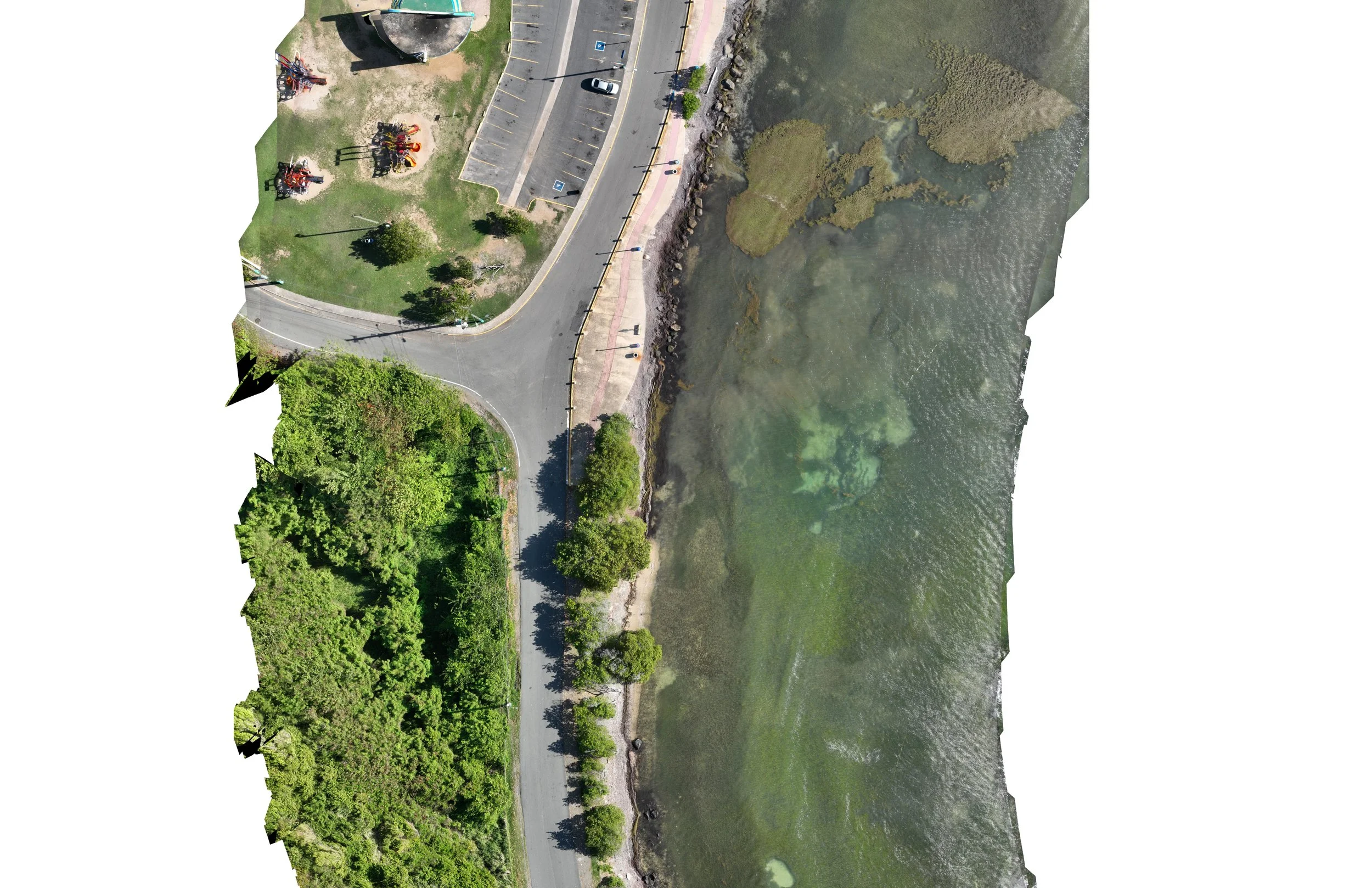
ORTHOMOSAIC CORRIDOR OF LAS CABEZAS DE FAJARDO
Executed with Environmental Mapping Consultants (EMC) one of the leading environmental and remote sensing firms in the island, an orthomosaic aerial image was developed using high resolution payload in UAV to be used as basemap in remote sensing operations in GIS, via supervise classification of elements using spectral frequency.
Results are to be used within a natural resource analysis plan developed by EMC to promote conservation and protection of areas while managing allowed uses by visitors.


